-40%
Map PACIFIC ISLANDS Fiji Polynesia Samoa Hawaii Tahiti New Zealand Australia
$ 5.27
- Description
- Size Guide
Description
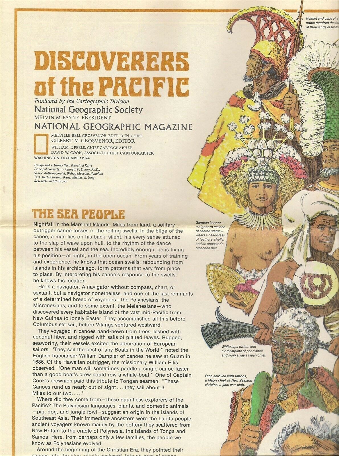
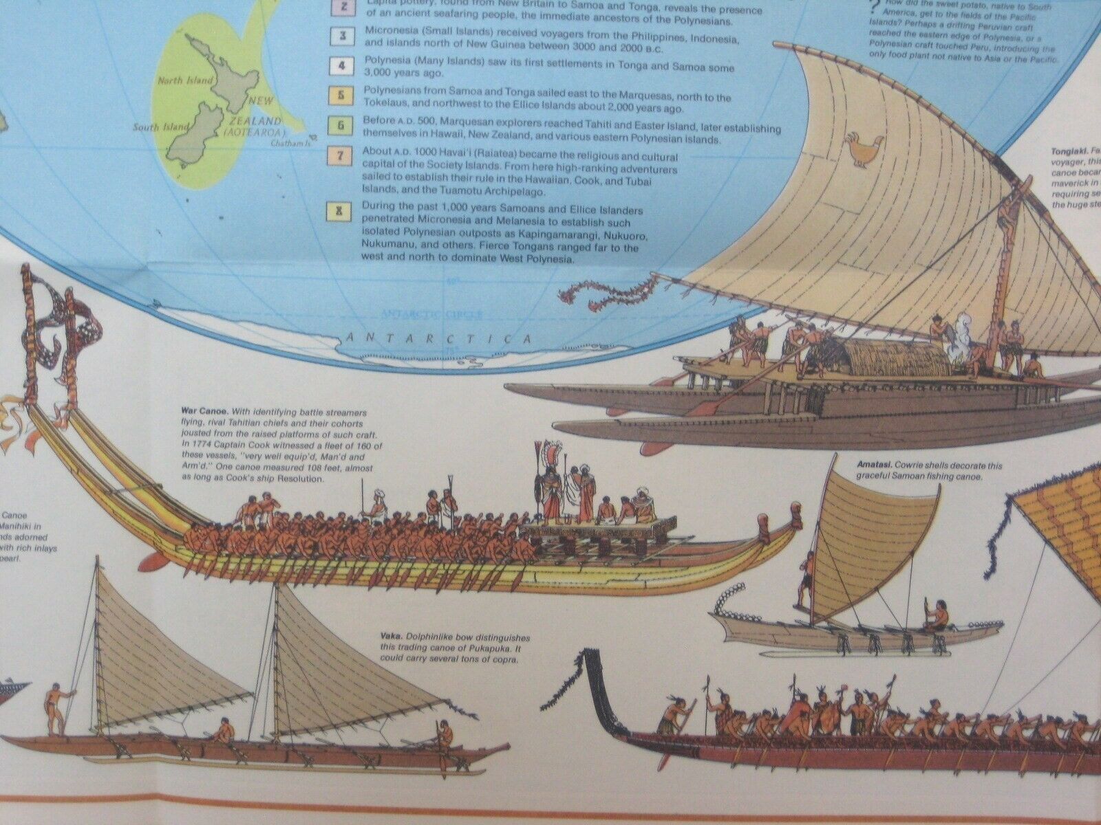
Beautiful fold-out poster map of the ancient seaways spanning the Pacific Ocean, along with illustrations of the seagoing canoes, sailing ships, and navigational aids used by native islanders to cross vast stretches of open water.This map opens to a generous 22½" x 37", and the coverage area extends from Baja California to the South China Sea, including New Zealand, Australia, Indonesia, Taiwan, Tasmania, Tonga, Fiji, New Guinea, the Solomon Islands, Nauru, Hawaii, Easter Island, and American Samoa.
The illustrations include paddles, rafts, a Tahitian war canoe, and a stick map used by Marshall Islands navigators.
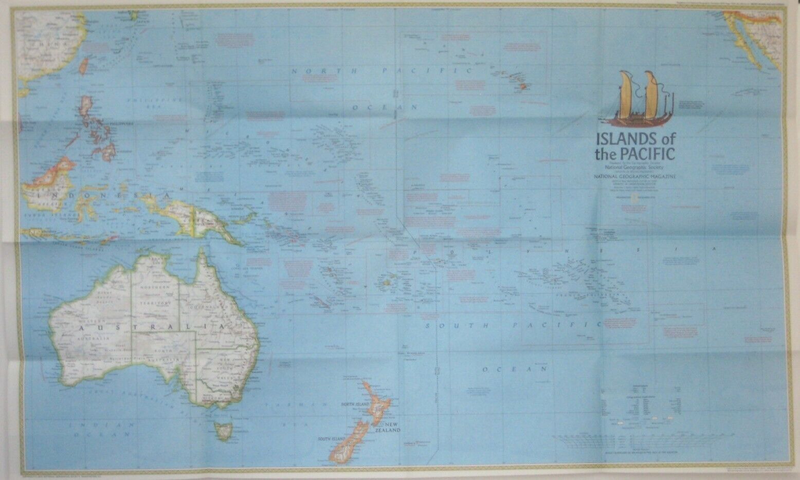
On the reverse side there is a handsome, colorful map titled
Islands of the Pacific,
covering the area from Borneo to Easter Island
This map is drawn on a scale of 1:18,000,000, or 284 miles to one inch, and was produced by the Cartographic Division of the National Geographic Society.
Condition:
This map is in very good condition, bright and clean, with
no
marks, rips, or tears. Please see the scans and feel free to ask any questions.
It was issued as a supplement to the December 1974 issue of
National Geographic Magazine
and folds to approximately 9½" x 6".
Buy with confidence! We are always happy to combine shipping on the purchase of multiple items — just make sure to pay for everything at one time, not individually.
Powered by SixBit's eCommerce Solution
